Westar Wins $55,689 Grant for Aeromagnetic Survey in Birrindudu Basin
Westar Resources has won a Northern Territory Government grant to co-fund an aeromagnetic survey over 569 square kilometres of its Bunda Creek Project, aiming to unlock structural insights critical for sediment-hosted copper exploration.
- Awarded $55,689 NT Government GDC grant
- Aeromagnetic survey covers 569km2 in Birrindudu Basin
- Survey targets structural faults and hydrothermal alteration
- Supports sediment-hosted copper exploration strategy
- Adds continuity to regional geophysical data coverage

Northern Territory Grant Boosts Westar’s Bunda Creek Exploration
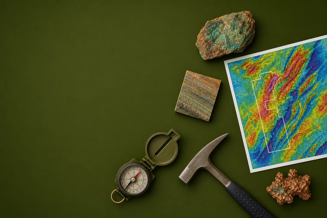
Westar Resources (ASX:WSR) has secured $55,689 from the Northern Territory Government’s Geophysics and Drilling Collaborations (GDC) program to co-fund an aeromagnetic survey across its Bunda Creek Project. This modest but strategic funding will enable Westar to conduct a high-resolution airborne geophysical survey over 569 square kilometres in the largely unexplored Birrindudu Basin, a frontier region with promising copper potential.
The GDC program is competitive, with only 26 companies successful in Round 19, underscoring the technical merit of Westar’s application. The grant aligns with the government’s Resourcing the Territory initiative, aimed at accelerating exploration in underexplored regions.
Survey to Illuminate Structural Controls on Copper Mineralisation
Westar’s aeromagnetic survey will focus on mapping the structural configuration of the basin, particularly targeting north-northwest trending faults that may have served as conduits for mineralising fluids. The survey is designed to overlap the eastern edge of a 2013 survey, extending continuous magnetic data coverage to about 1,200 square kilometres in a data-poor area.
Non-Executive Director Eddie King emphasised the importance of the data in refining the geological model: "Understanding the architecture is key to de-risking while advancing future drilling programs." The survey will also seek to identify hydrothermal alteration zones potentially linked to sediment-hosted copper deposits, a key exploration target for Westar.
Bunda Creek Positioned as a New Frontier for Sediment-Hosted Copper
The Bunda Creek Project includes granted Exploration Licence EL34118 and an adjoining application EL34358, situated within the Birrindudu Basin. Recent research from the Northern Territory Geological Survey, CSIRO, and Geoscience Australia has highlighted the basin’s prospectivity for copper, identifying a copper source, basinal fluids capable of leaching copper, and suitable reductants in the sedimentary succession.
Although outcrop is minimal, geophysical and drilling data confirm the presence of target stratigraphy such as the Amos Knob Formation, intersected at 300 metres depth in drill hole ANT003. The presence of evaporites suggests a source of salt to facilitate copper transport by basinal brines, enhancing the prospectivity of the area.
Recent Geophysical Modelling Spurs Tenement Expansion
In the March 2026 quarter, Southern Geoscience produced 3D inversion models from reprocessed airborne magnetic data, revealing several steep magnetic gradients, including previously unmapped features. This prompted Westar to lodge a new exploration licence application adjoining EL34118, expanding its footprint in the basin.
Westar’s ongoing exploration activities in the Northern Territory, including this grant-supported survey, complement its broader 2026 program which also includes work on gold and base metals projects in Western Australia. The company’s approach reflects a focus on tier one base metal deposits in underexplored, highly prospective regions, supported by detailed geophysical and geological data.
Bottom Line?
The grant-funded aeromagnetic survey is a stepping stone that could sharpen Westar’s exploration focus in a promising but underexplored copper province, with results likely to influence future drilling decisions.
Questions in the middle?
- Will the aeromagnetic survey identify new structural targets that justify drilling?
- How will Westar integrate the new data with existing regional geophysical datasets?
- What timeline can investors expect for the survey completion and interpretation?