White Cliff extends Rae copper system beyond 11.5km

White Cliff Minerals has expanded the assay-confirmed footprint of its Rae Copper Project beyond 11.5km, while new Danvers 3 drilling has placed visible copper sulphides within 19 metres of surface. The most eye-catching Danvers 3 interval still awaits laboratory assays.
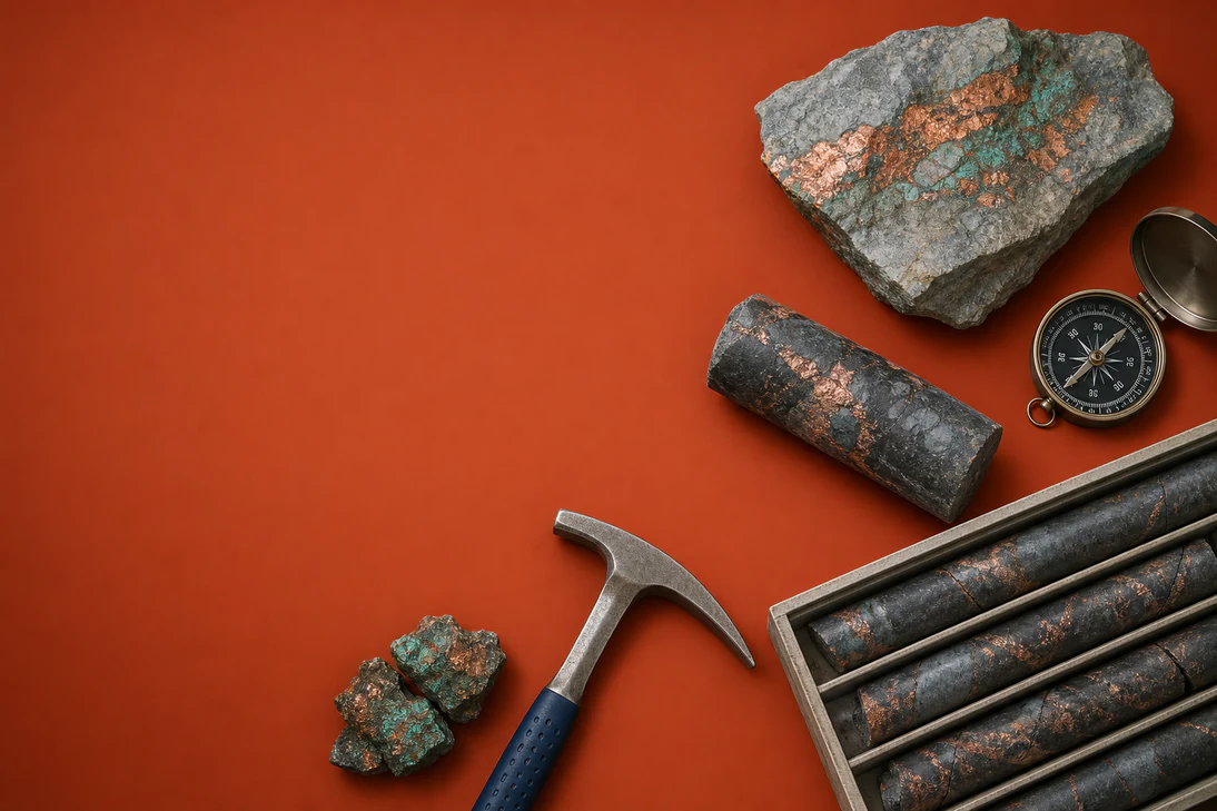
- 32.45m of chalcocite-dominant sulphides logged in Danvers 3 hole DAN26052
- Visible copper sulphides extend to within 19m vertically of surface
- Danvers 1 assay returns 16.10m at 1.20% copper within 35.50m at 0.65%
- Assay-confirmed mineralisation now spans more than 11.5km across the district
- Two diamond rigs are targeting resource definition and higher-grade zones
Danvers footprint pushes beyond 11.5 kilometres
White Cliff Minerals (ASX:WCN) is turning a string of copper intersections into a much larger exploration story at Rae, with assay-confirmed mineralisation now extending across more than 11.5km of combined strike. The footprint comprises more than 6.5km along the Teshierpi Fault Zone and a further 5km at Danvers 1 and its extensions, with both areas remaining open along strike and at depth.
The latest result from Danvers 3 is notable less for a new assay than for its position. Hole DAN26052 logged 32.45m of chalcocite-dominant copper sulphides from 27.9m downhole, placing visible sulphides within 19m vertically of surface. The interval sits above DAN26008, which returned 33.53m at 1.00% copper from 103m, providing what the company describes as evidence of near-surface continuity.
That distinction matters. The Danvers 3 result is based on visual logging rather than laboratory analysis, and White Cliff says assays are expected in four to six weeks. Visual sulphide abundance is not a substitute for grade, while the reported intersections are downhole widths and their true thicknesses have not yet been established.
Danvers 1 step-out adds grade and continuity
Laboratory results from the regional Danvers 1 drilling provide the firmer part of the announcement. Hole DAN26041 returned 16.10m at 1.20% copper from 193m, within a broader 35.50m interval grading 0.65% copper. The hole was drilled 275m northeast of DAN26024 and extends the mineralised envelope along strike.
White Cliff says 2026 drilling has expanded Danvers 1’s mineralised strike from 821m to more than 4.76km, a claimed increase of more than 480%. A dedicated diamond rig is now infilling the area to close gaps in the geological model, improve confidence in continuity and grade distribution, and support an Exploration Target followed by a maiden Mineral Resource Estimate.
Drilling shifts towards higher-grade controls
The company’s geological interpretation is also becoming more focused. Diamond drilling across the Teshierpi Fault Zone has identified a magnetic contact as a key control on higher-grade mineralisation, prompting a second rig to target that contact across Danvers 2 and Danvers 3. At Danvers 4, assays have confirmed copper mineralisation over more than 6.5km, although the broad and complex fault system still contains central and northwestern areas that have not been sufficiently tested.
Several Danvers 4 intervals were comparatively modest, including 13m at 0.21% copper in DAN26044 and 4.18m at 0.87% in DAN26042A, alongside narrower higher-grade sections. That mixed distribution is consistent with an exploration program still trying to identify the most prospective structural positions rather than reporting a defined resource.
Resource pathway remains the next test
White Cliff is commissioning airborne magnetic, gravity and radiometric work across roughly 70km of the Rae Group-Husky Creek Formation contact, including regional targets at Thor and Rocket. At Danvers, however, the immediate focus is more practical: continued drilling along the Danvers 1 northeast trend and across the Danvers 2 and 3 discovery areas, followed by geological modelling.
The next hard evidence will come from the pending DAN26052 assays and further drilling around the magnetic contact. Until those results arrive, the scale story is increasingly well supported, but the economic dimensions remain unsettled: there is no maiden JORC Mineral Resource Estimate, true widths are unresolved, and the historical estimate referenced in the filing is explicitly not JORC 2012 compliant.
Bottom Line?
The 11.5km footprint is becoming harder to dismiss, but Danvers 3’s near-surface headline still depends on laboratory assays and better definition of true widths.
Questions in the middle?
- Will DAN26052’s visible chalcocite translate into grades comparable with Danvers 3’s strongest assay results?
- How much of the 11.5km mineralised corridor can be converted into coherent, resource-quality domains?
- Can infill drilling support an Exploration Target and maiden Mineral Resource Estimate without materially narrowing the interpreted scale?