Macallum Acquires 110 km2 3D Seismic Data Over Jurassic Gas Leads
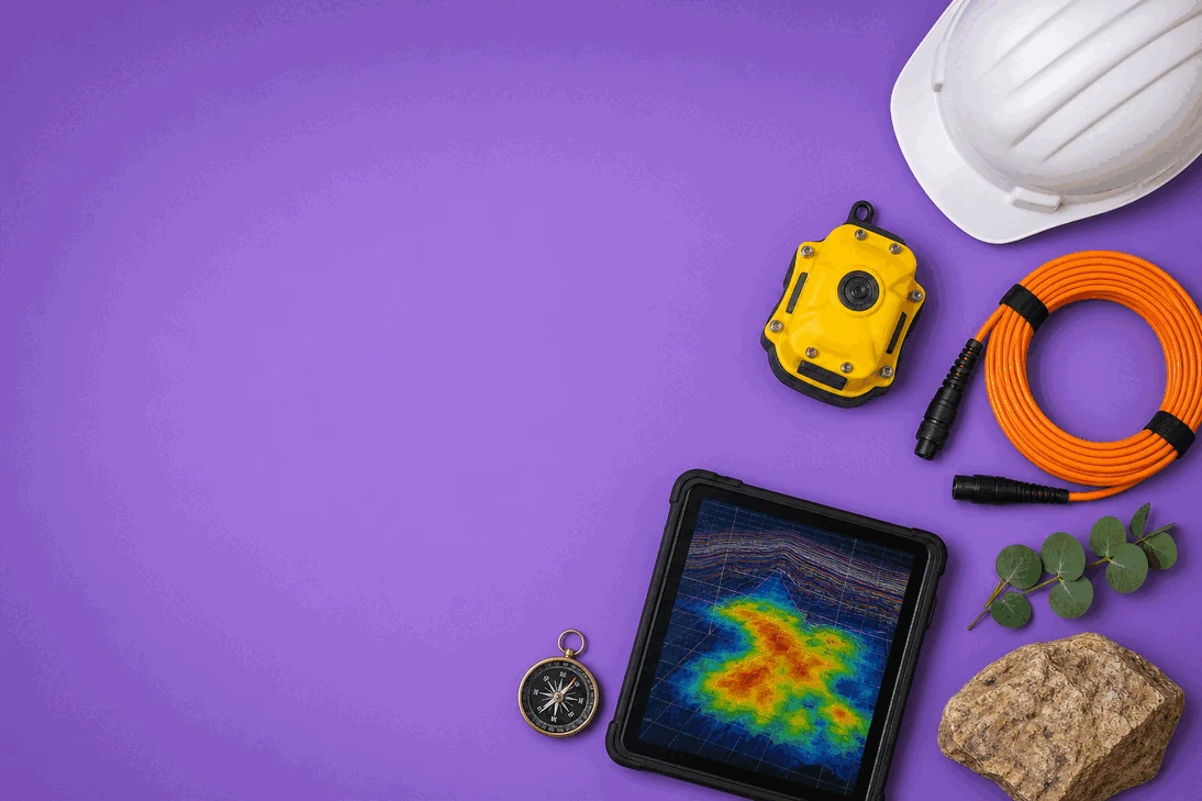
Macallum New Energy has wrapped up its first 3D seismic survey over key Jurassic gas leads in EP-494, deploying innovative GeoPulse technology to reduce environmental impact. Preliminary data processing is underway with results expected by late June.
- 110 km2 3D seismic data acquired over Yarra and Gadee leads
- First use of GeoPulse low-impact seismic sources in Western Australia
- Survey completed on schedule and within budget
- Data processing by Velseis with preliminary results due late June
- Condor 2D seismic survey to start mid-May
Completion of Barberton 3D Seismic Survey Marks Exploration Milestone
Macallum New Energy (ASX:MNE) has successfully concluded its inaugural 3D seismic survey in the North Perth Basin, acquiring 110 square kilometres of high-resolution data over two prospective Jurassic gas leads named Yarra and Gadee. These leads, situated approximately 2,500 metres below surface in the Yarragadee formation, are central to the company’s exploration ambitions within its 100%-owned permit EP-494.
The survey’s completion on schedule and within budget demonstrates disciplined project execution following the company’s recent A$7.4M capital raise that funded this phase of exploration. This milestone advances Macallum’s strategy to derisk its portfolio of undrilled gas prospects in a tightening Western Australian domestic gas market.
GeoPulse Technology Introduces Low-Impact Seismic Acquisition
Notably, the Barberton survey was the first in Western Australia to deploy Terrex’s GeoPulse seismic sources. These smaller, lighter vehicles replaced conventional vibroseis trucks, enabling access to challenging terrain without vegetation clearing or ground disturbance. This technology significantly reduced environmental impact and avoided land rehabilitation requirements, a critical factor in sensitive onshore exploration.
The use of GeoPulse sources represents a potential gamechanger for seismic programs targeting depths under 3,000 metres in Western Australia. The company highlighted the operational and environmental benefits as key to unlocking exploration in areas previously restricted by access or landowner concerns. This innovative approach was anticipated in earlier coverage when the company began the survey using this technology GeoPulse seismic sources first used.
Data Processing Underway with Results Expected by Q3
Following acquisition, the seismic data is now with Velseis Processing Pty Ltd in Brisbane for detailed processing. Macallum expects preliminary “Fast Track” results by late June, with final processed products slated for delivery in the third quarter of 2026. These outputs will inform the interpretation of the Yarra and Gadee leads’ prospectivity and guide future exploration activities.
Shortly after a planned maintenance break, the survey crew will mobilise to commence the Condor 2D seismic survey near Muchea, Western Australia. Scheduled to start around 20 May, this survey is designed to complement the 3D data and further delineate exploration targets within the North Perth Basin. The timing aligns with earlier announcements regarding the company’s seismic work program Condor 2D survey to start.
Bottom Line?
Macallum’s pioneering use of low-impact seismic technology could reshape exploration in sensitive onshore basins, but the true test lies in the upcoming seismic data interpretation and its implications for commercial gas development.
Questions in the middle?
- How will the preliminary seismic results influence Macallum’s drilling plans in EP-494?
- Can GeoPulse technology become the industry standard for low-impact seismic surveys in Australia?
- What are the potential challenges in translating seismic data into commercially viable gas resources?